Mapping Wonderlands

Mapping Wonderlands: Illustrated Cartography of Arizona, 1912-1962

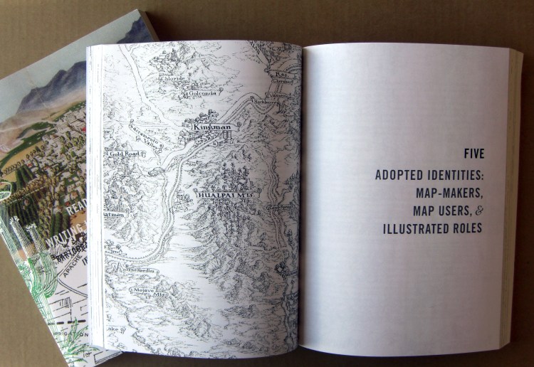
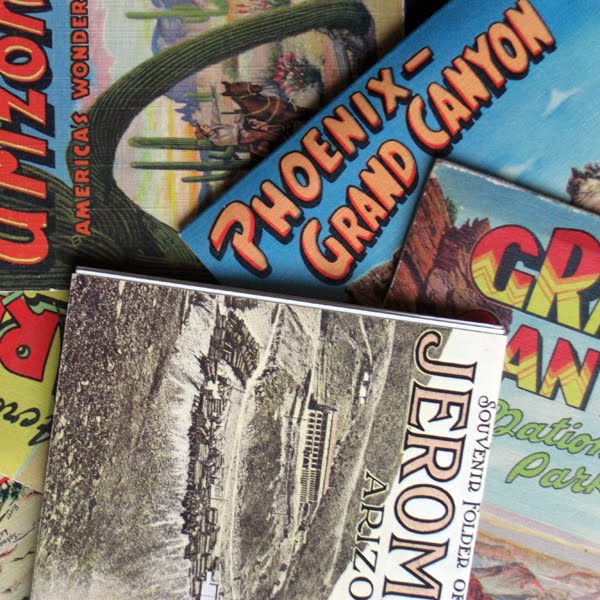
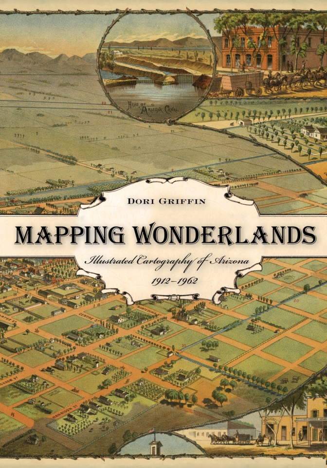
Published by the University of Arizona Press in 2013 (purchase here), Mapping Wonderlands explores popular, illustrated sight-seeing maps of Arizona during the first half-century of statehood. Chosen as a Southwest Book of the Year (see the review here), Mapping Wonderlands investigates how imaginary geographies influence our experience of tourism destinations. The book is extensively illustrated with vintage maps and, though it is a work of carefully researched scholarship, is also accessible to a wide readership.


Reading Maps, Writing Landscapes

COVER + INTERIOR SPREAD FROM READING MAPS, WRITING LANDSCAPES

In April 2010, I defended Reading Maps, Writing Landscapes: Cartographic Illustration in Arizona, 1912-1962 – my doctoral dissertation in design history – at Arizona State University. In fall 2012, a book of the same title will be published by the University of Arizona Press. The text documents and investigates cartographic illustrations of Arizona during the first half-century of statehood.

Designwriting

DESIGNWRITING PORTFOLIO SAMPLES

During my doctoral coursework, I wrote about a variety of subjects related to Arizona tourism and print ephemera: illustrations of the Kino missions, Tumacacori and San Xavier; maps as illustrations in Arizona Highways magazine; representation and identity in the American West; archival sources for illustrated maps; practicing tourism as a scholar and scholarship as a tourist. All of this written work is design work, too. During my first semester at ASU, I designed a document template with space for images and captions down the left-hand side of the page, and body text with footnotes down the right. Brenda Laurel (now at California College for the Arts) calls this designwriting, a term I have adopted to describe my own work.

Ephemeral Arizona


PHOTOGRAPHS OF ARIZONA EPHEMERA (COLLECTION OF AUTHOR)

Souvenir publications capture the desired public identity of tourism places. Arizona’s tourism landscapes often feature desert scenery and colonial Spanish history. The souvenirs of places like Jerome, the Grand Canyon, Tumacacori Mission, and the Apache Trail highlight selective elements in the story of Arizona’s past. Like all places, Arizona’s tourist landscapes are constructed. Imaginary identities, idealized images, experiential evidence, and historical narrative all contribute to the place-images we associate with Arizona as a tourism destination.